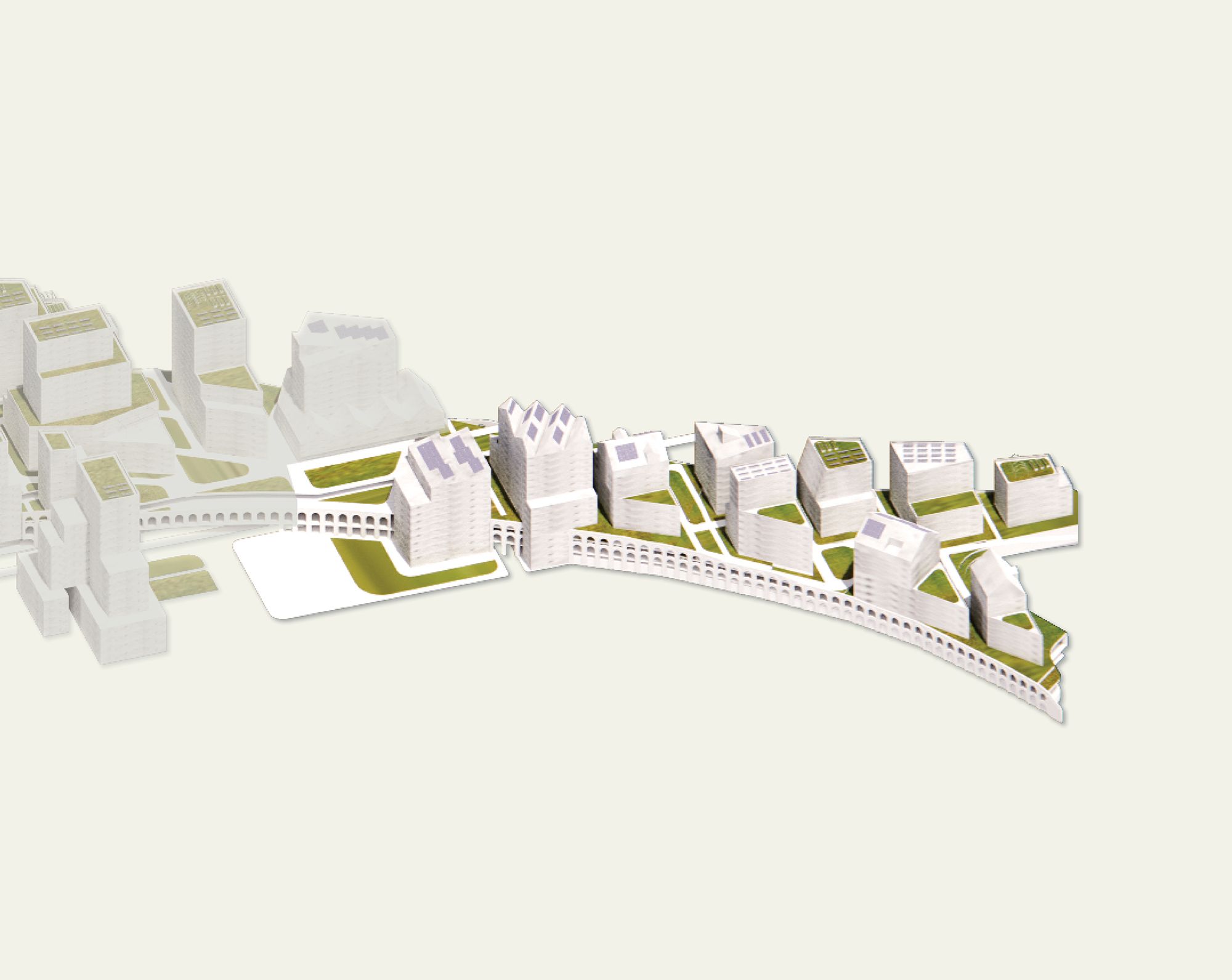
Nature is central to the precinct’s identity and to sustainability.
The landscape vision establishes an integrated design response that prioritises community connections, supports a high-quality public realm, and celebrates both nature and place. It reinforces key landscape themes, creating a cohesive identity across the entire site, while giving each neighbourhood its own distinct character.
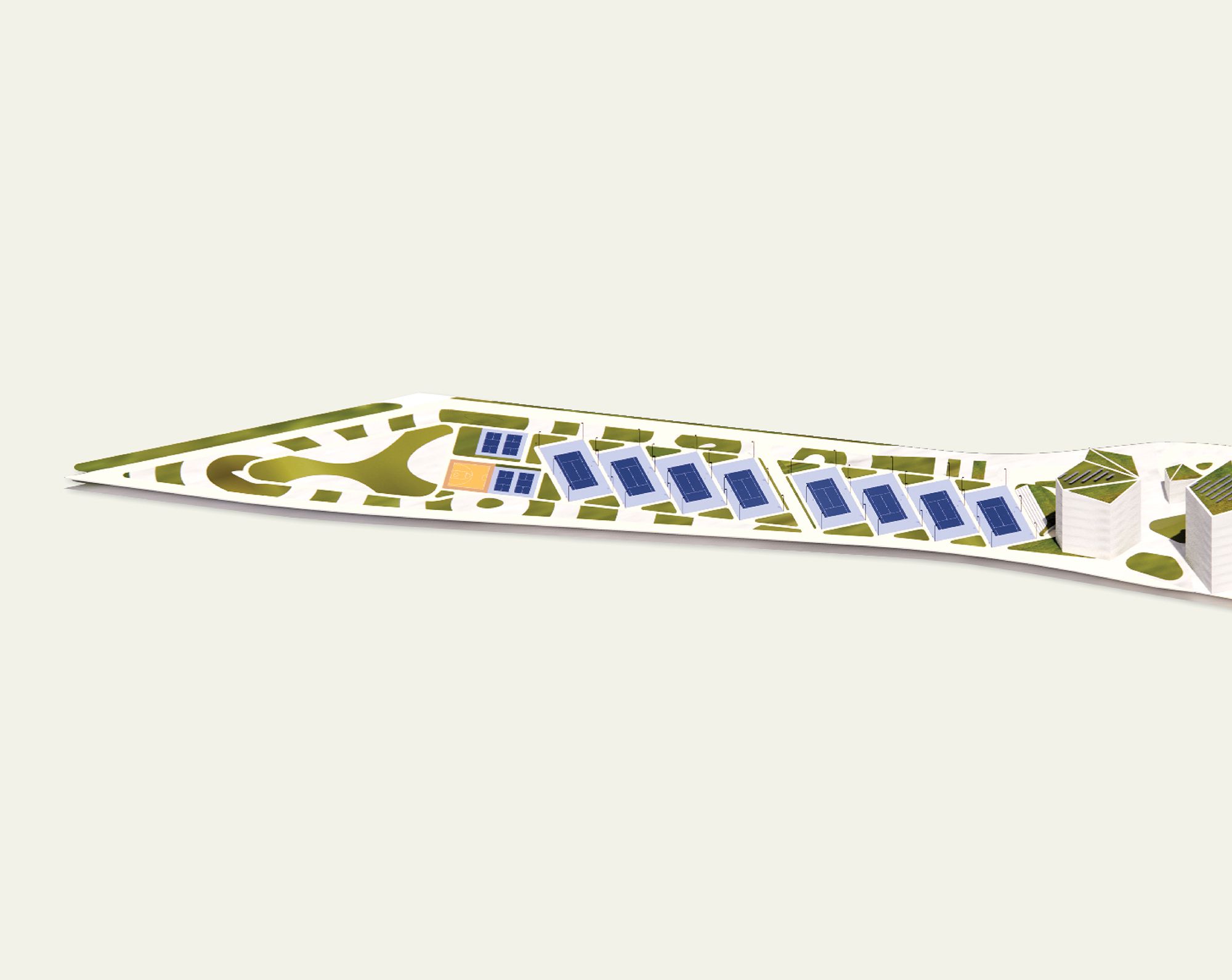
Open space runs through the site as a connected network. At its centre is a continuous 1.8-kilometre green corridor for pedestrians and bike riders, offering a safe and uninterrupted journey free from vehicle interaction.
The corridor provides a unique opportunity to restore not only the city’s physical connectivity, but also creates new spaces for community interaction and social connection. It links on-site amenities to the wider neighbourhood beyond, with rooftops and terraces extending those links upward into the buildings themselves. Active programming keeps these spaces in use day to day, supporting recreation and casual gatherings for people across the precinct.
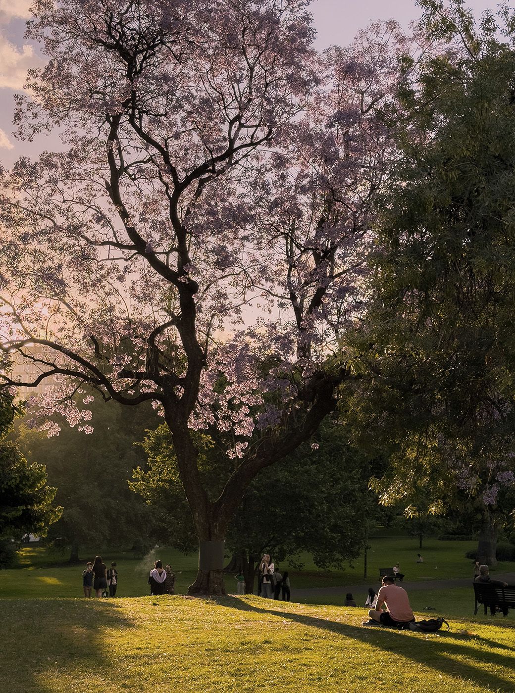
The grid
A formal grid, derived from the surrounding city fabric and the structured landscape of Yarra Park, seeks to reconnect and repair fragmented north–south links. This approach re-stitches the urban fabric, improving permeability and strengthening connectivity across the precinct.
A habitat corridor
A new east–west green link introduces a more organic landscape expression, inspired by the natural ecology of the Yarra River corridor. This system provides diverse spaces and experiences, supporting biodiversity while creating opportunities for movement, gathering, and connection.




1/8
1.8km
40%
30%
We have assessed the G Line masterplan against the Nature Based Cities Design Guidelines. The Nature Based Cities Design Guidelines Scorecard is for developers who care about sustainable design and want to focus on nature-based solutions. The scorecard comprises a set of achievable nature-based design goals, which can be adopted as a design brief to guide urban designers, landscape architects and engineers. The proposal aspires to achieve an ‘Exemplary’ outcome under the Nature Based Cities Framework, delivering a minimum of 40% tree canopy cover and 30% planted area throughout all new public open spaces.
A dedicated plan will protect and enhance habitat across the site, guiding how nature is managed here for years to come.
The precinct will leave nature better off than it found it — a net gain of at least 20% in biodiversity across the site.
Every resident lives within 300 metres of a public green space, with at least 15% of the precinct set aside for it.
At least 40% of public spaces will sit under tree canopy — shade and greenery, not just pavement.
At least 30% of public open space will be planted, not paved.
At least 60% of all planting will be indigenous species, reflecting the local landscape rather than an imported one.
Homes come with room to grow something of your own — at least 20% of each lot planted, with greenery built into the buildings themselves.
Wherever you live, you're within 600 metres of a green, shaded path to the places you actually need — transport, schools, parks and local hubs.

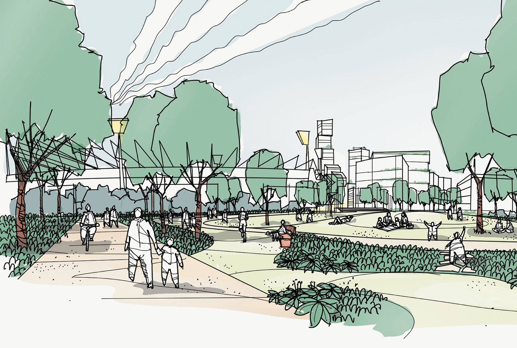
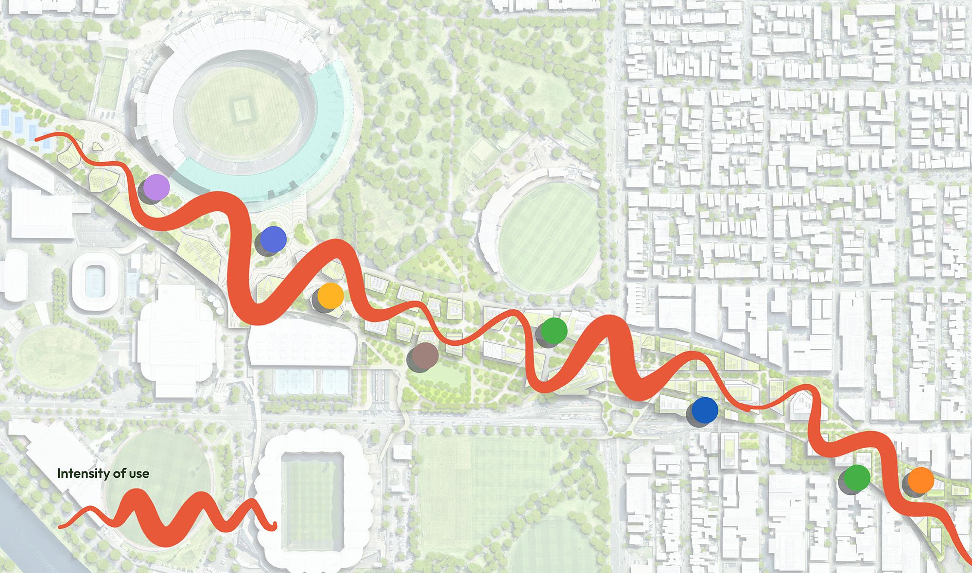
Jolimont Fields is a public space offering to the city with rolling lawns and public sports facilities.
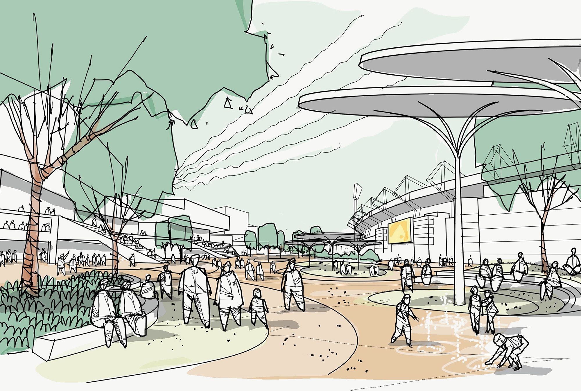
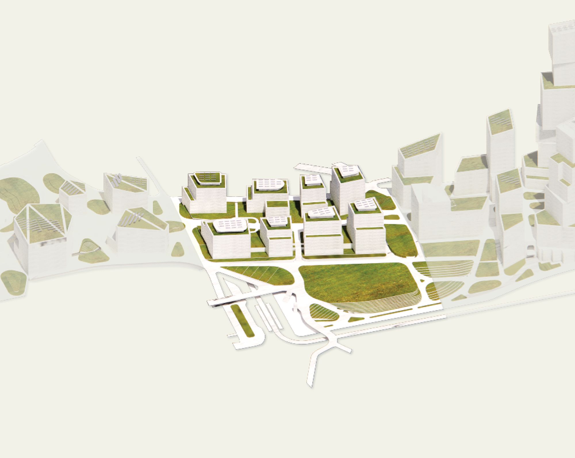
A major civic plaza featuring generous hardscaped areas and a continuous field of decorative paving that supports a wide range of flexible uses.
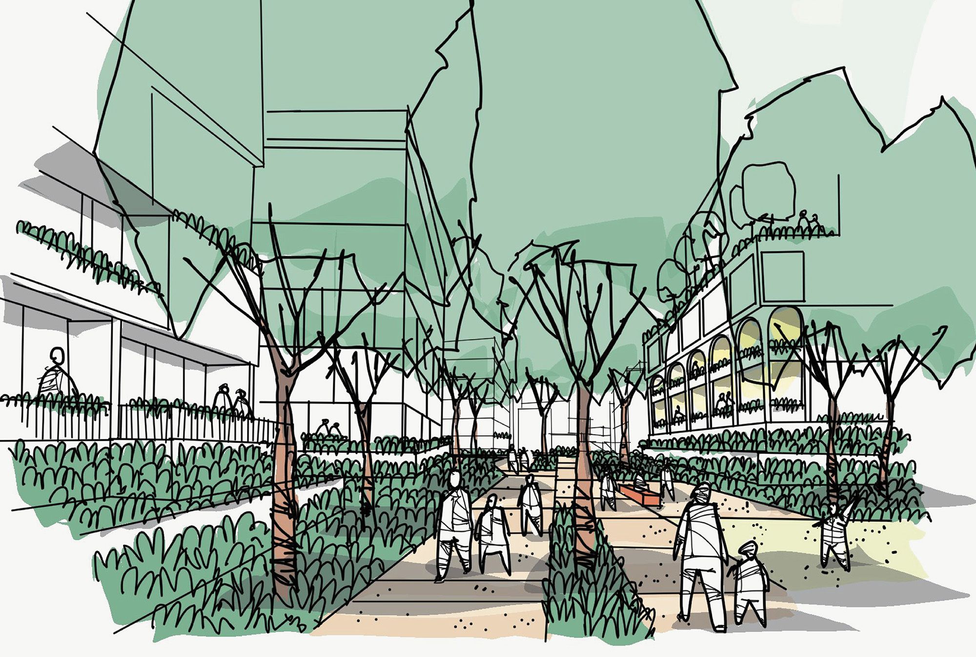
A mix of public and private garden courts — green, relaxed, and thoughtfully designed.
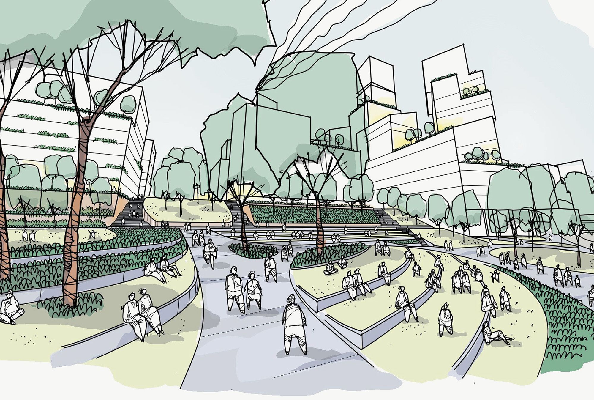
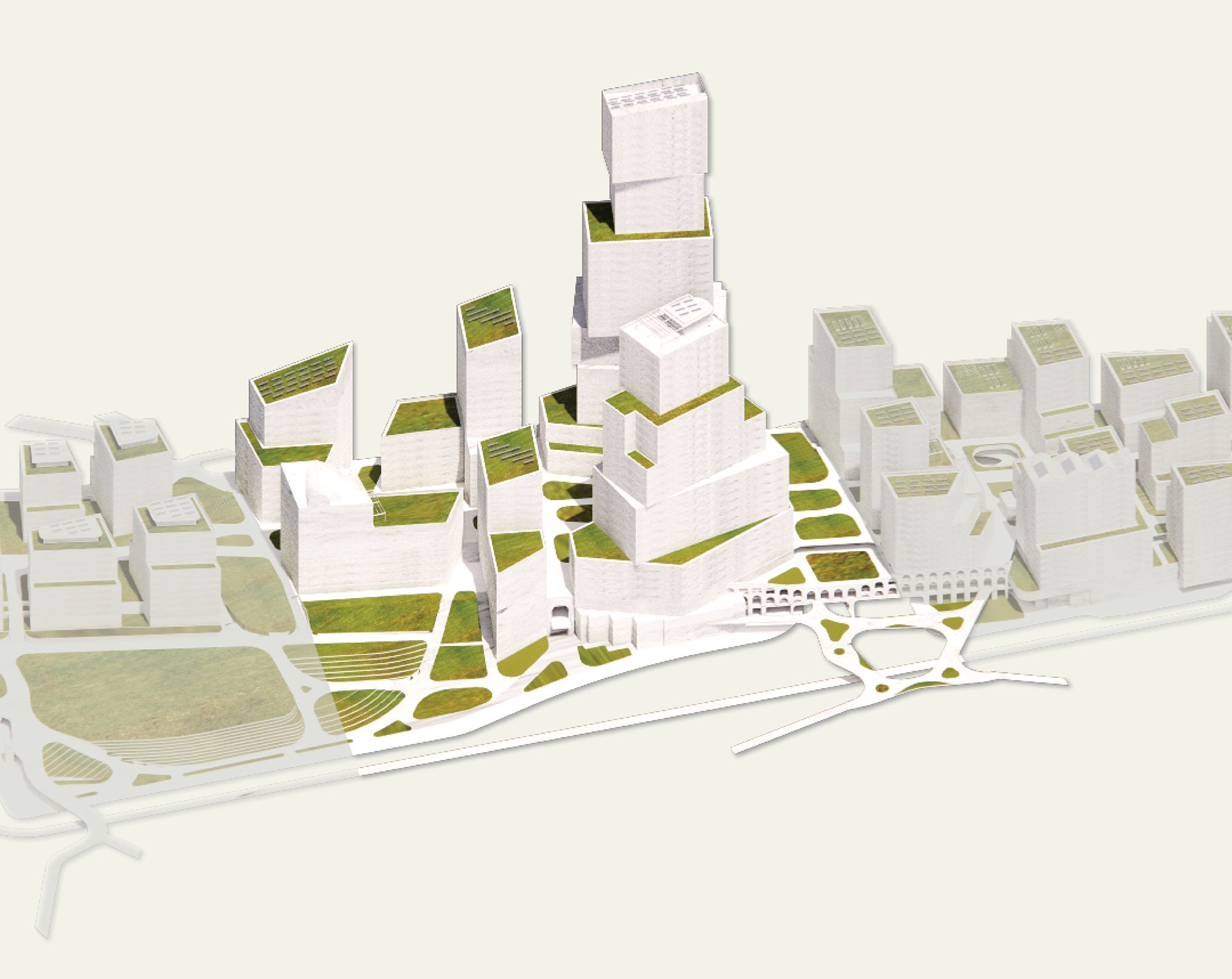
Civic square — generous in scale, clear in form, and easy to navigate.
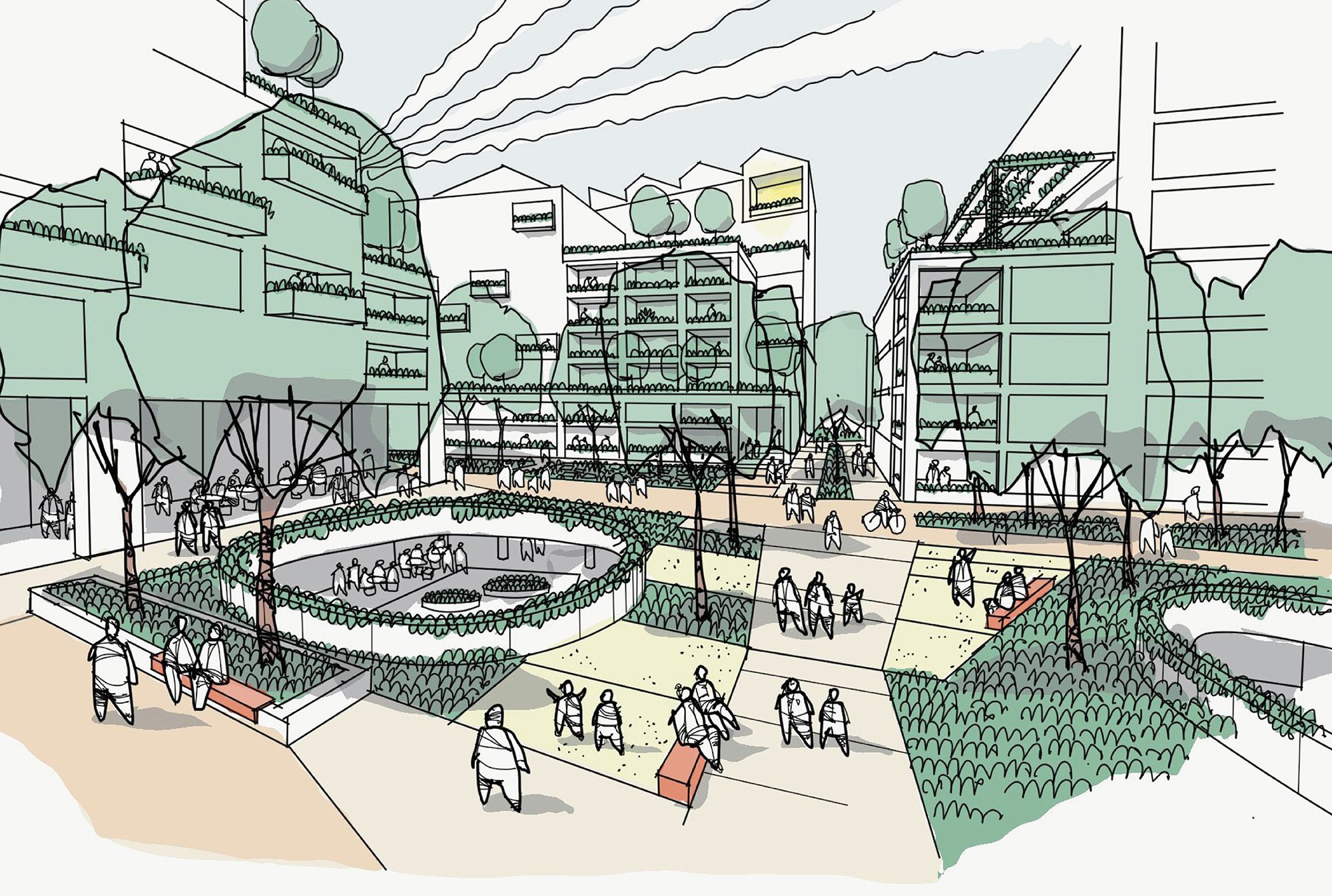
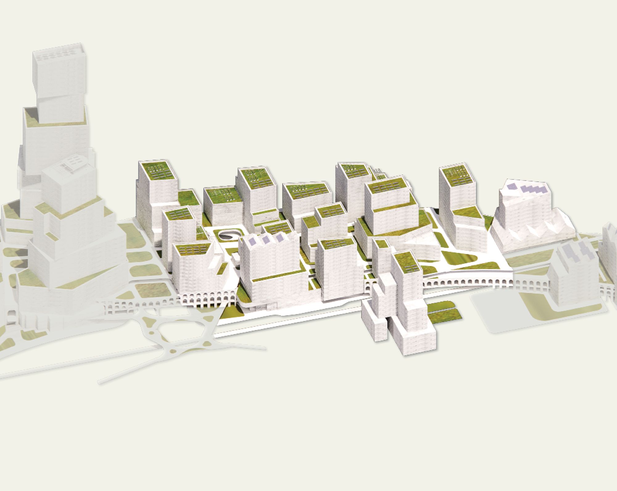
A unique mixed-use urban village, enriched by lush greenery, heritage, and identity.
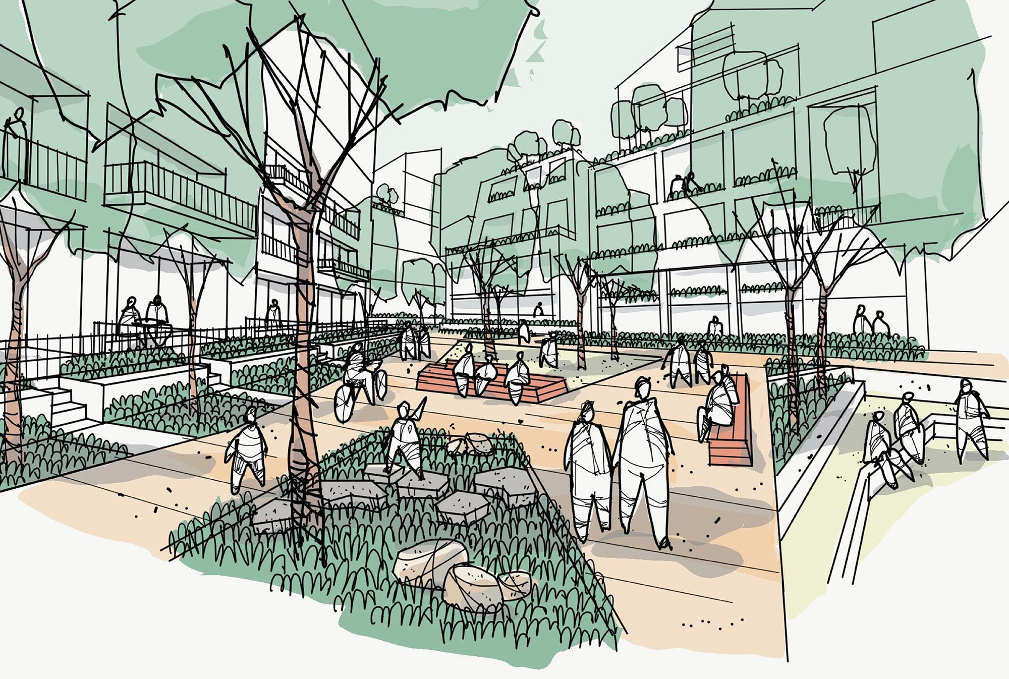
Friendly neighbourhood laneways and intimate courtyard spaces.